NOON UPDATE:
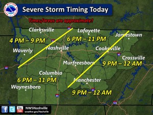
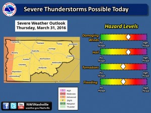
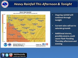
While the NWS has downgraded our severe risk to slight, most weather sources agree not to let our guard down. The cloud cover is keeping the temps down, but breaks in the clouds to the west could charge up the atmosphere quickly. Over an inch more of rain is still predicted so flash flooding will be a concern. We will provide updates as needed, as Severe Thunderstorm Watches have been issued for most of West Tennessee. Here’s the latest from the NWS:
What To Know About Severe Weather
Severe Weather Tips Courtesy of PrepareAthon and The Town Of Smyrna
LIVE Weather Radar with Storm Tracker and Reports
How To Use Our LIVE Weather Radar
RutherfordSource.com will update as needed and Weather Alerts are posted to our Twitter (@RutherfordSrc) and Facebook page as soon as they are released by the NWS.
Thursday Morning Update:
Latest from the NWS Thursday morning sets us in an “enhanced” chance of storms this afternoon. Rains will move out mid morning and skies will clear allowing for temps in the mid-70s. This unfortunately will “charge” the atmosphere and allow another system coming through to bring the possibility of hail, high winds, and the possibility of tornadoes. Add to that the rain we have already received, and this afternoons storm system is sure to bring localized flooding and flash flooding. Times for arrival according to NWS are iffy right now. RutherfordSource.com will monitor and update at midday and then again as the system approaches.
WEDNESDAY EVENING 3/30
The National Weather Service is forecasting wind, hail,flash floods, and the possibility of tornadoes the next 24 hours. According to NWS Nashville Facebook page there are two scenarios:
Scenario 1: Morning rain and storms linger into the early afternoon, the clouds hang tough all day, and temperatures remain cool through the day. This scenario would greatly limit the amount of thunderstorm fuel for any re-development Thursday afternoon and evening, and we’ll probably have to wait for a cold front to trigger another round of storms late Thursday evening. The main severe threats with this scenario would be damaging winds, small hail, and possibly a tornado.
Scenario 2: Morning rain and storms exit the area by the late morning and breaks in the clouds allow temperatures to warm into the 70s. This scenario would increase the amount of thunderstorm fuel and severe chances greatly. Severe storms would likely move into western Middle Tennessee after 3 PM and spread eastward. The main severe threats with this scenario would be damaging winds, large hail, isolated tornadoes, and flash flooding.
At this time, we’re leaning more towards scenario 2, but be sure to keep a close eye on Thursday!
Please Join Our FREE Newsletter!


