
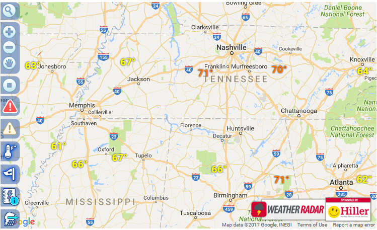
 The National Weather Service is concerned with the development of a cold front that will bring more February-like weather this weekend. With predicted highs in the 80s today, the approaching cold front will bring with it strong to severe weather ahead of it late this afternoon and evening. The biggest concern at the time is for strong winds and large hail, and of course heavy rainfall. Expect steady winds this afternoon from 15-20 with some higher gusts ahead of the storms.
We will monitor the situation as it develops and keep you informed on our Facebook and Twitter pages with our live radar updates when needed. The extremes? 80s today for a high. Tomorrow, 50s for highs, low 30s for lows. Good news it will warm up again, but keep an eye on our forecast tomorrow. Delicate flowers and plants may need covering.
The official statement from the NWS is as follows:
There is a slight risk of severe thunderstorms for locations
generally east of I-24 this evening. There is a marginal risk
of severe thunderstorms for generally the rest of Middle
Tennessee this evening. Some strong to severe thunderstorms
will be possible, with strong to damaging winds and large hail
the main concerns. A brief tornado or two and brief heavy
rainfall leading to localized flooding can not totally be ruled
out, but the overall threat is low.


